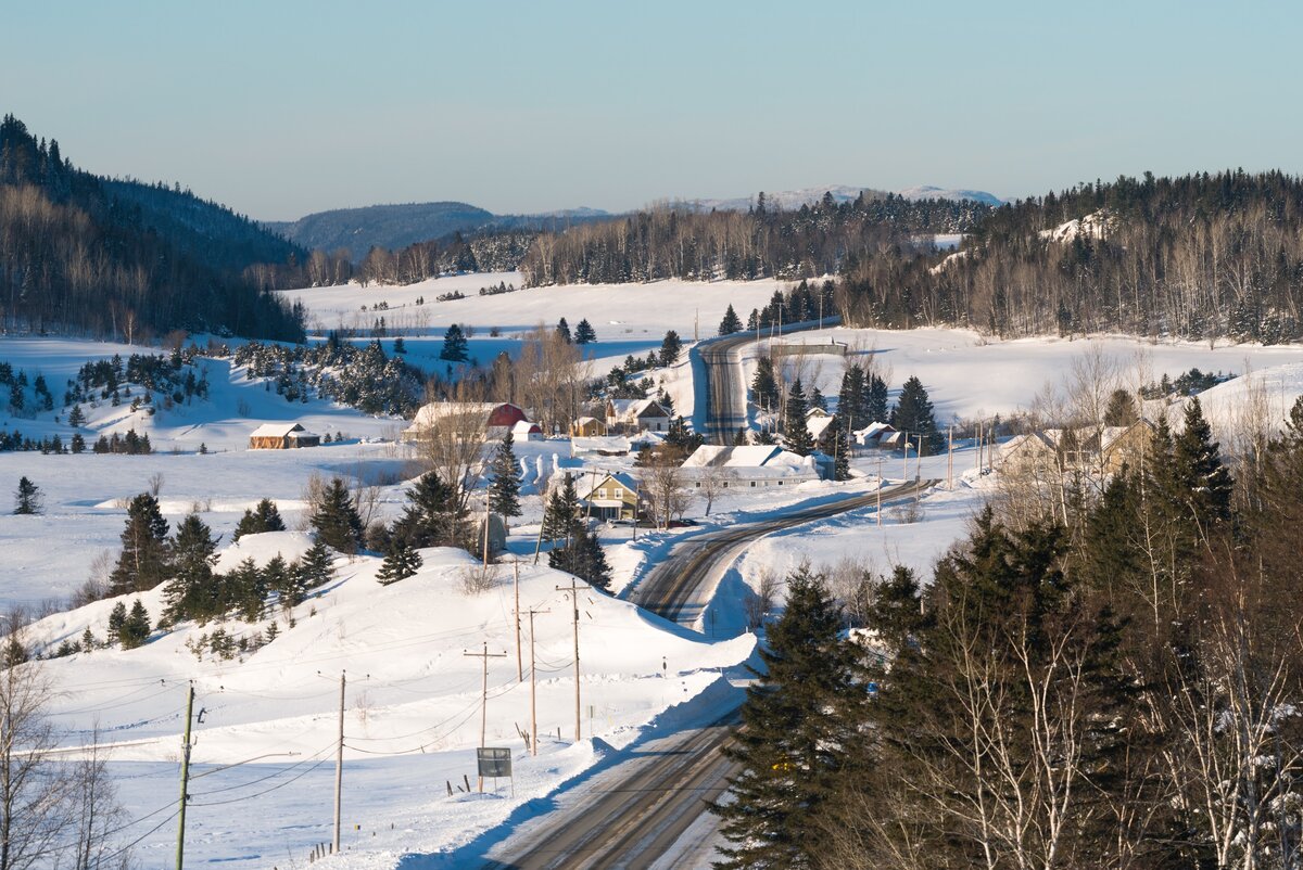
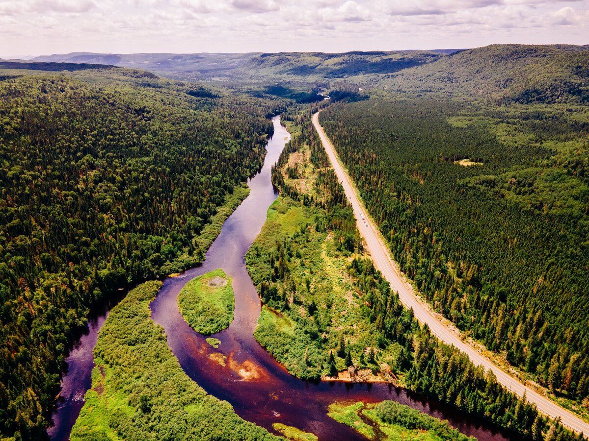
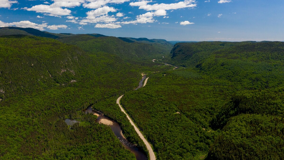
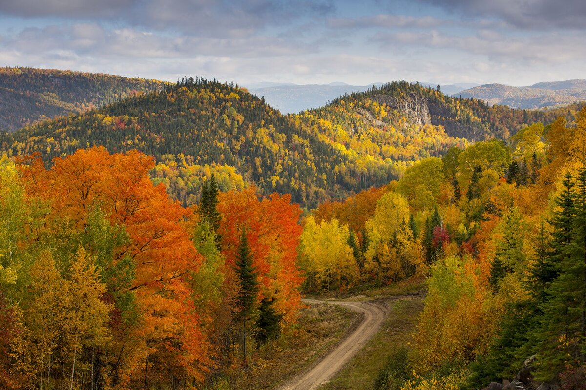
 Route du Fjord, Saint-Fulgence
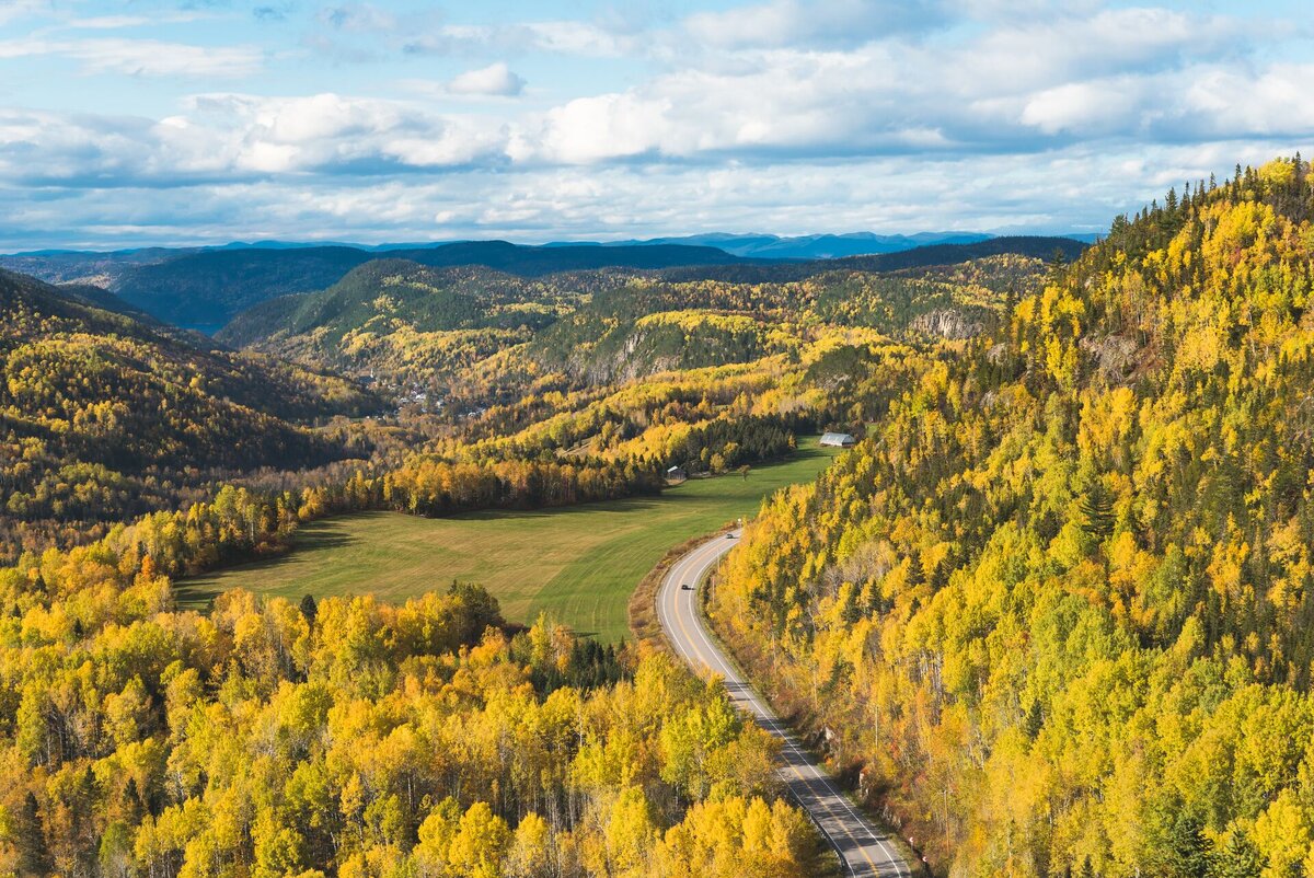
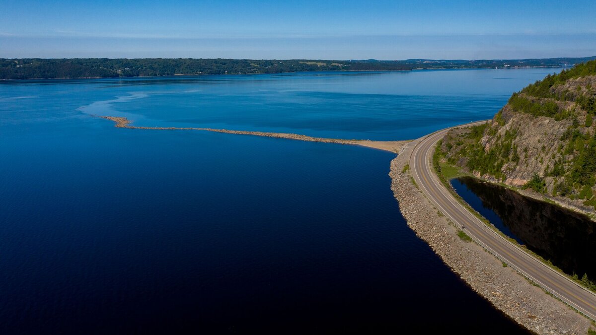
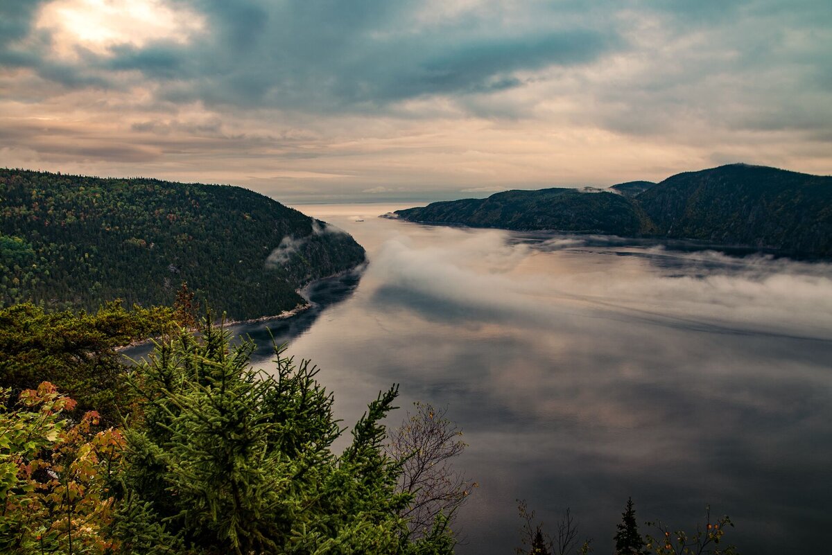
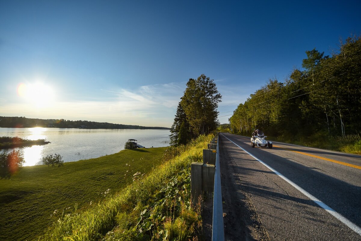
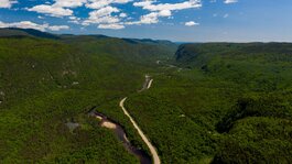
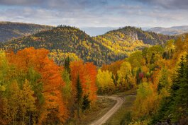
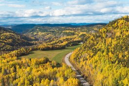
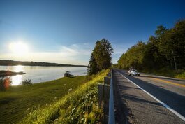
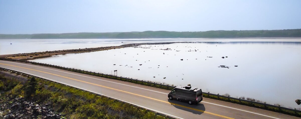
The Route du Fjord crosses both shores of the unique Saguenay Fjord, mainly on routes 170 to the south and 172 to the north. It covers a total of 235 km between the municipalities of Petit-Saguenay and Tadoussac. It can be accessed from the Charlevoix, Quebec City and North Shore regions.
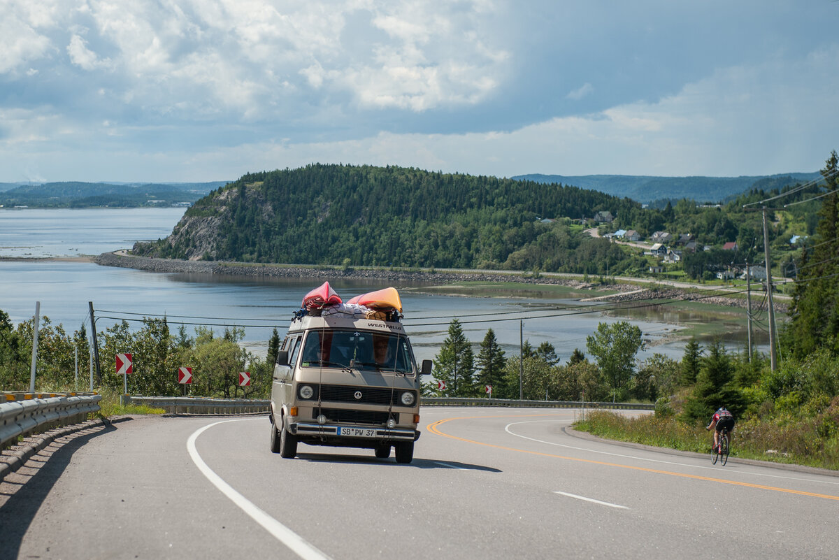
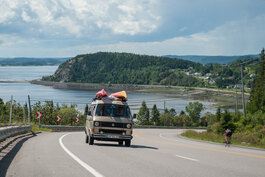
It can be discovered by car, motorcycle or bicycle, since the Véloroute du Fjord runs along its entire length. A cycling route adapted to lovers of challenges, mountains and pleasures.
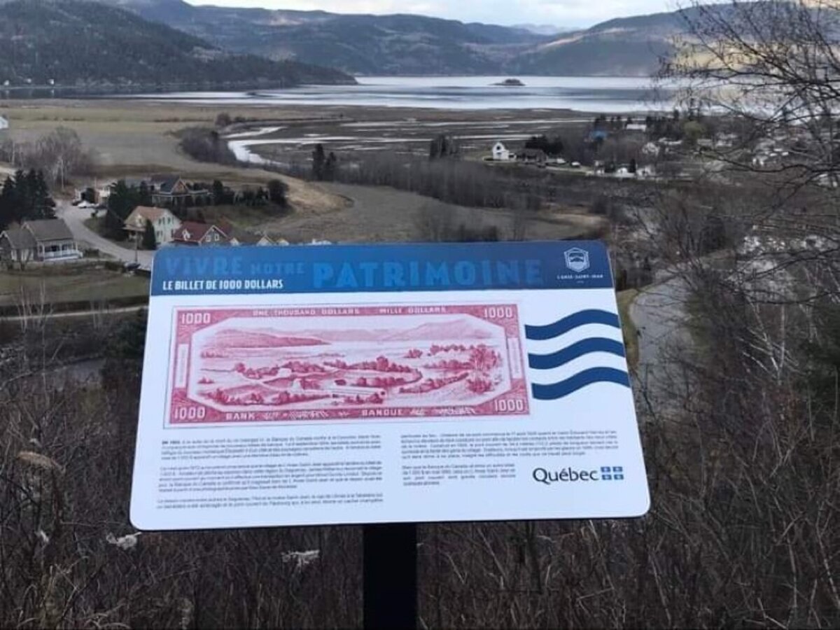
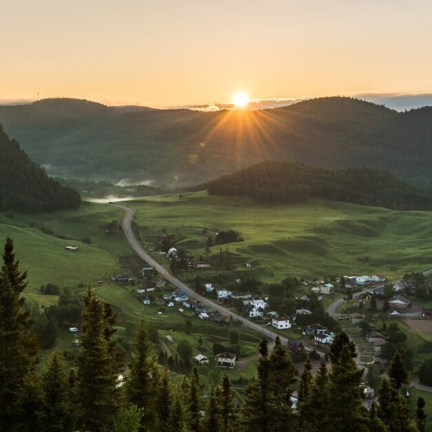
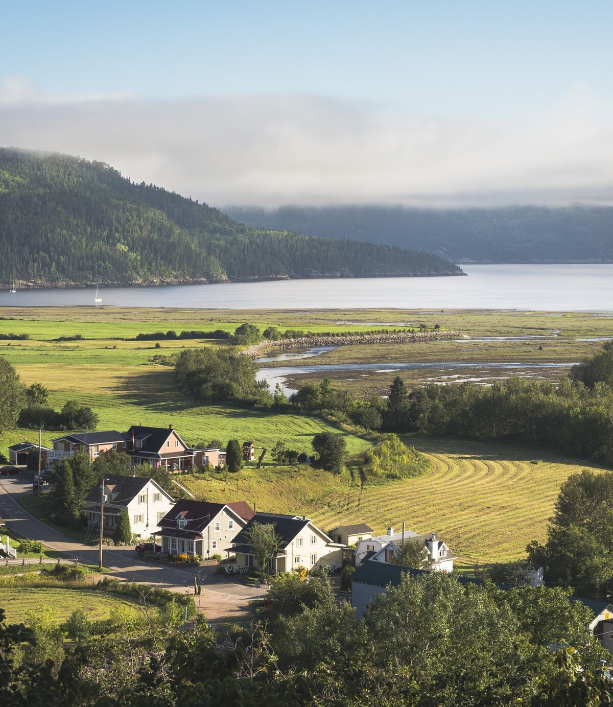
Along the way, you will pass through picturesque villages, each one as picturesque as the next, and you won't want to miss a stop to contemplate the postcard-like landscapes. Two of them are even classified among the most beautiful in Quebec: L'Anse-Saint-Jean on the south shore and Sainte-Rose-du-Nord on the north shore.
Looking to get off the beaten path?
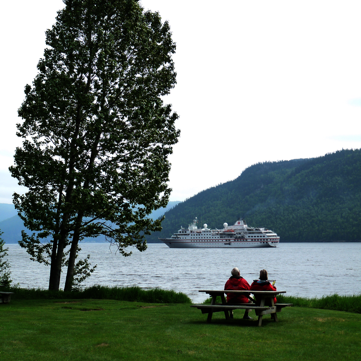
The Navettes maritimes du Fjord offers different tours between the municipalities of Saguenay (Arr. La Baie) and Tadoussac in order to observe the highest headlands of the Fjord directly by navigating its waters aboard one of its 3 boats. Several other companies also offer various possibilities of navigating this mythical portion of the Saguenay River such as kayaking, zodiac, sailing and even rabaska!
Outdoor enthusiasts will be pleased with the many activities offered in the area, including several hundred kilometers of hiking trails, two Via Ferrata courses, an aerial park, two national parks and a marine park. Cultural enthusiasts will also find something to their liking with a mythical show presented on summer evenings and fascinating museums recounting the history of the region and its inhabitants.
About the Saguenay Fjord
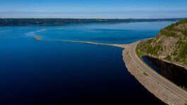
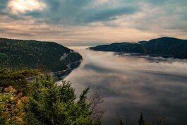
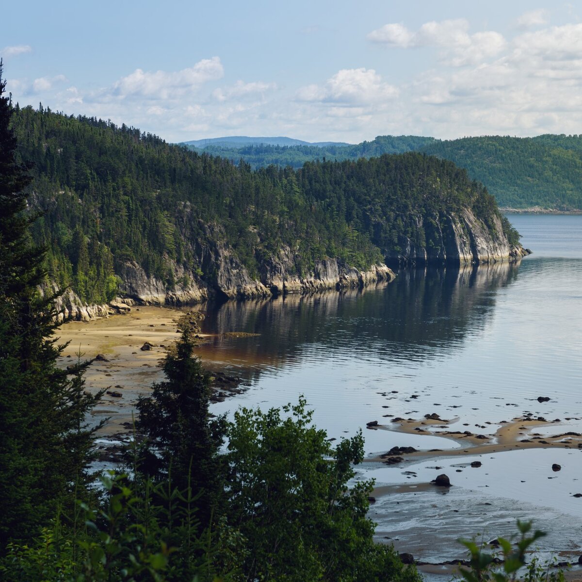
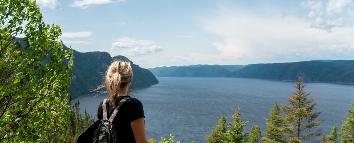
The fjord was created from the power of the glaciers that once carved its immense corridor. Sandwiched between steep cliffs, the Saguenay Fjord runs smoothly along kilometers of waterway where cruise ships and light craft cohabit. What makes it a special waterway is that on the surface, there is fresh water coming from the Saint-Jean Lake and at depth, salt water that is drawn from the St. Lawrence River at high tide.
This means that its fauna is just as rich in its depth as it is on its surface. In summer, you can observe belugas, harbour seals and minke whales. You can also fish for about forty species such as redfish on the ice in winter. Its shores are populated with pretty riverside villages nestled in quiet bays that look like postcards.
From top to bottom, from one shore to the other, we come to dive in the heart of a postcard landscape. Here, a fjord gives itself generously in spectacle to the great happiness of the nature lovers.
Discover the Route du Fjord
Exploring the Route du Fjord means meeting ambassadors of the region who are proud to help you discover the wonders of the region in one of the 6 tourist information offices you will come across on your way. It's also about stopping at one of the viewpoints to admire the Saguenay Fjord at any time of the day.
Get inspired with an itinerary that will lead you all around the Saguenay Fjord for a perfect family summer vacation.
Live the fjord adventure by listening to a podcast
This summer, Jackie Nourse came to discover the Saguenay Fjord during an organized kayak-camping trip. During her 6-day adventure, she saw beluga whales, camped under the stars, braved the currents of the fjord and fell in love with the Saguenay-Lac-Saint-Jean region! Let yourself be transported by her story by listening to her podcast JUMP travelling with Jackie: Kayak camping on a fjord in Québec (seulement disponible en anglais).
This podcast will highlight: her 6 day kayak and camping itinerary with ROW adventures, her discussion with the Saguenay Aventures guides Simon Olivier and Félix who are passionate about the region, all the details on how to book this adventure, and much more!
